Welcome to Juneauhistory.com. In the late 1950s Art Paulson, a janitor at the territorial capital building in Juneau (now the Alaska State Capital building) found a photo album in the trash. The janitor gave the album to my father, George Danner Jr. who worked in the building as an architect for the United States Forest Service. My father was born in Juneau in 1914 and at his office he was the person to go to for knowledge about the Juneau area and also knew the importance of saving items that would be beneficial to future residents of Juneau.
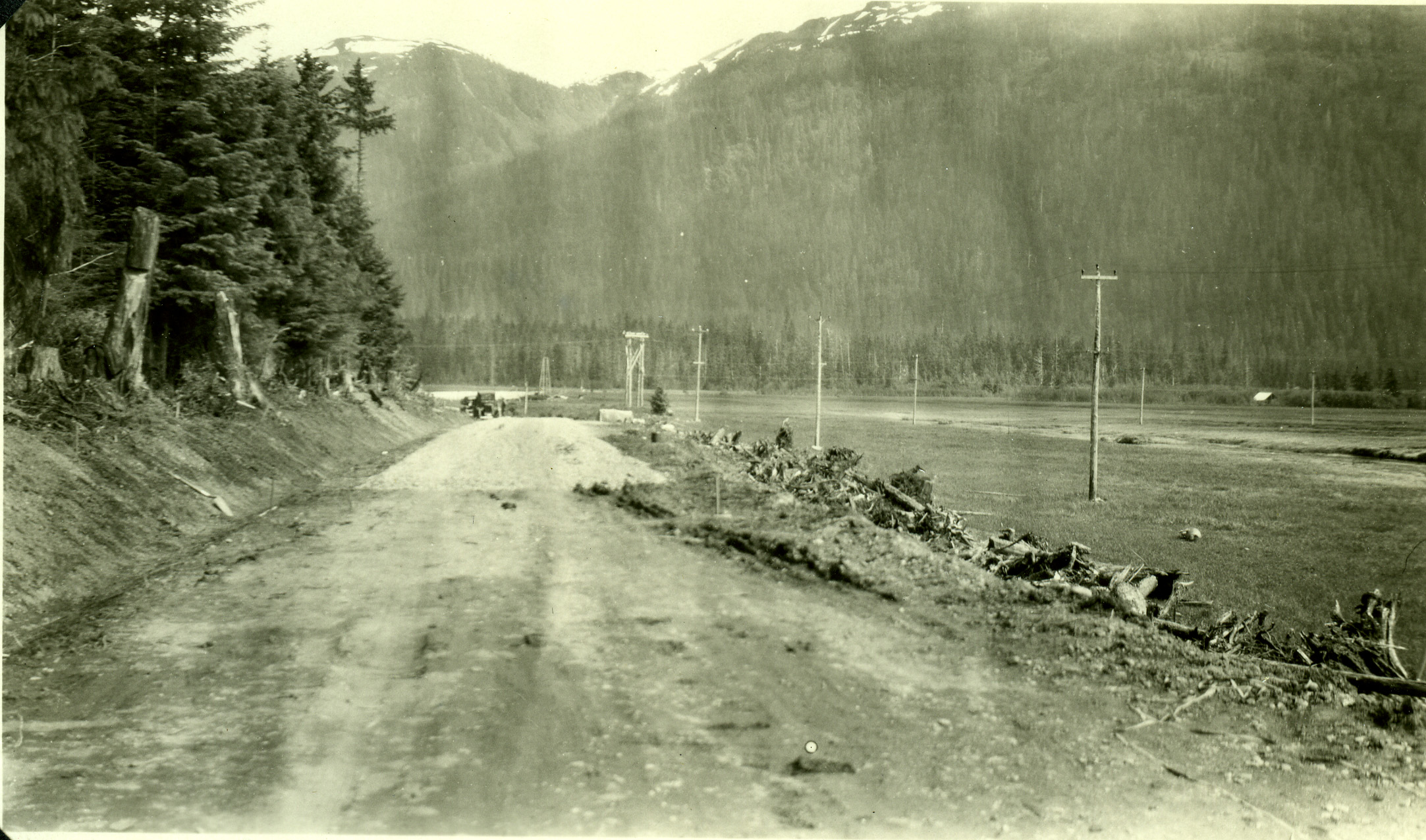
What is know known as Glacier Highway was initially started in 1911 as a pioneer road for access to build hydroelectric facilities at Salmon and Nugget Creek in order provide electricity to the various Juneau & Douglas mining companys. With a road came access to the flat grasslands of Lemon and Mendenhall valley which allowed numerous homesteaders to began dairies and produce farms to supply the residents of Juneau & Douglas.
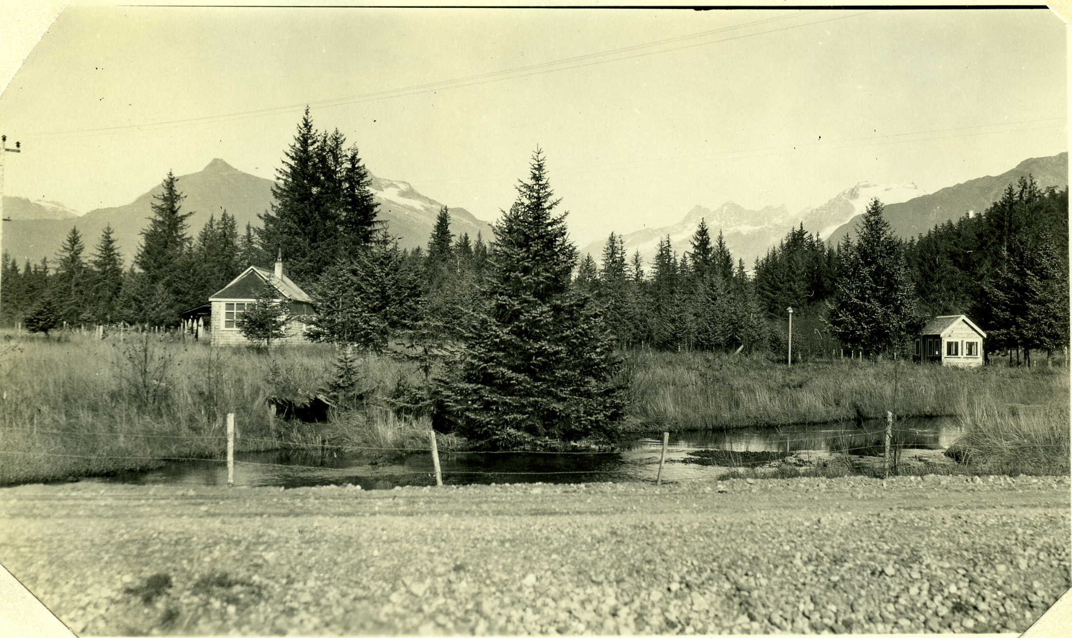
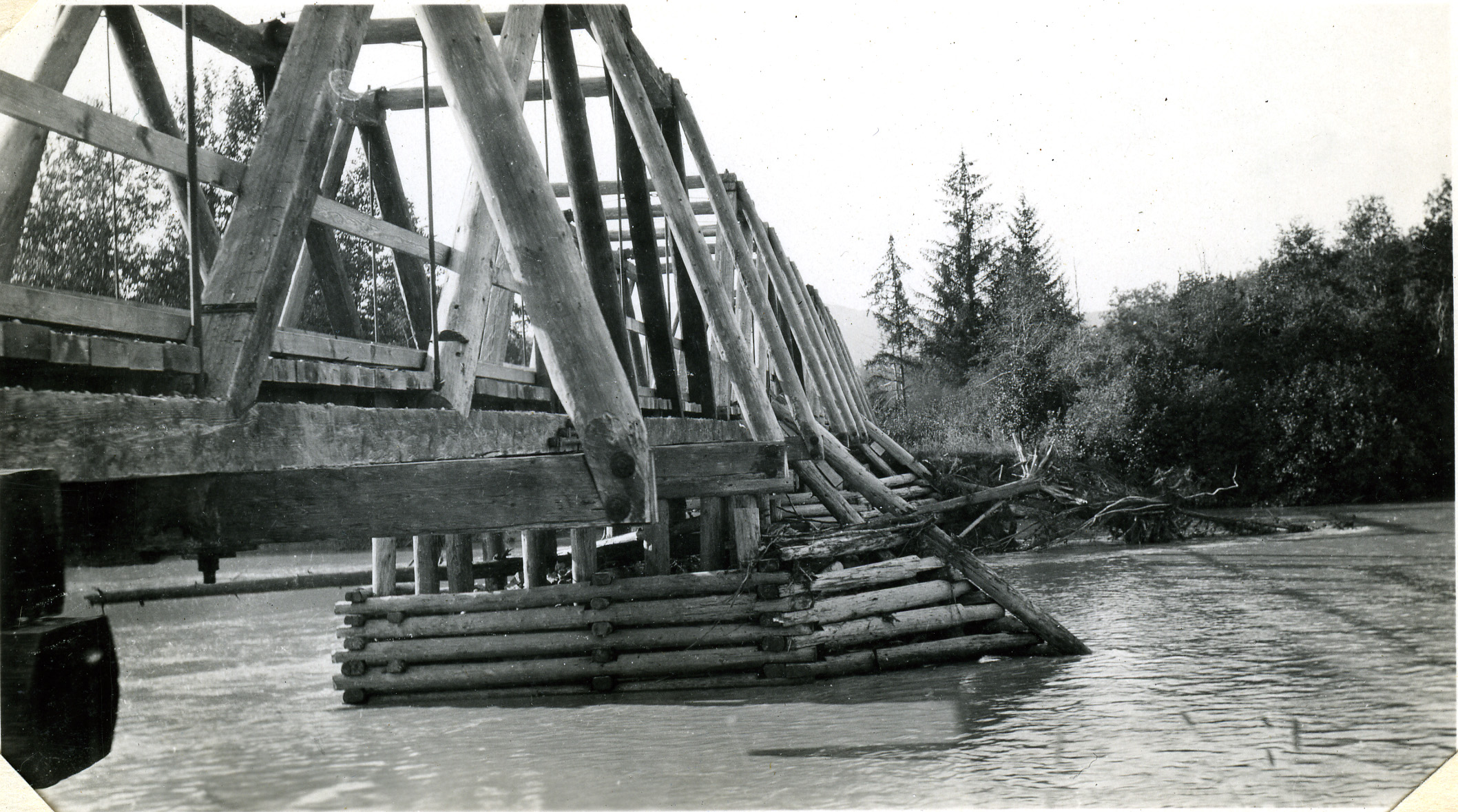
This photo album was a living document created by the engineers of the Bureau of Public Roads (BPR), the federal agency responsible for building and maintaining the rural highways of the Alaska territory. The album started in 1912 at the current location of the Harborview school and ended near Sherwood Lane in 1943. It consists of photographs taken at various survey stations with before, during and after photos by year taken. These photos show that in places the original road to the Mendenhall River followed a different path than Glacier Highway follows today.
My father wanted to preserve this bit of history. The purpose of this project is to build on his vision. The goal is to extend the life of this collection by adding new information as time allows.
Recently I have added the engineers’ notes from the original album, recollections of early settlers like my father and Marie Darlin of who owned or lived in the houses at the time of construction, and to give you a better idea of that pictures location, what is there in 2016. I will continue to add information as it becomes available.
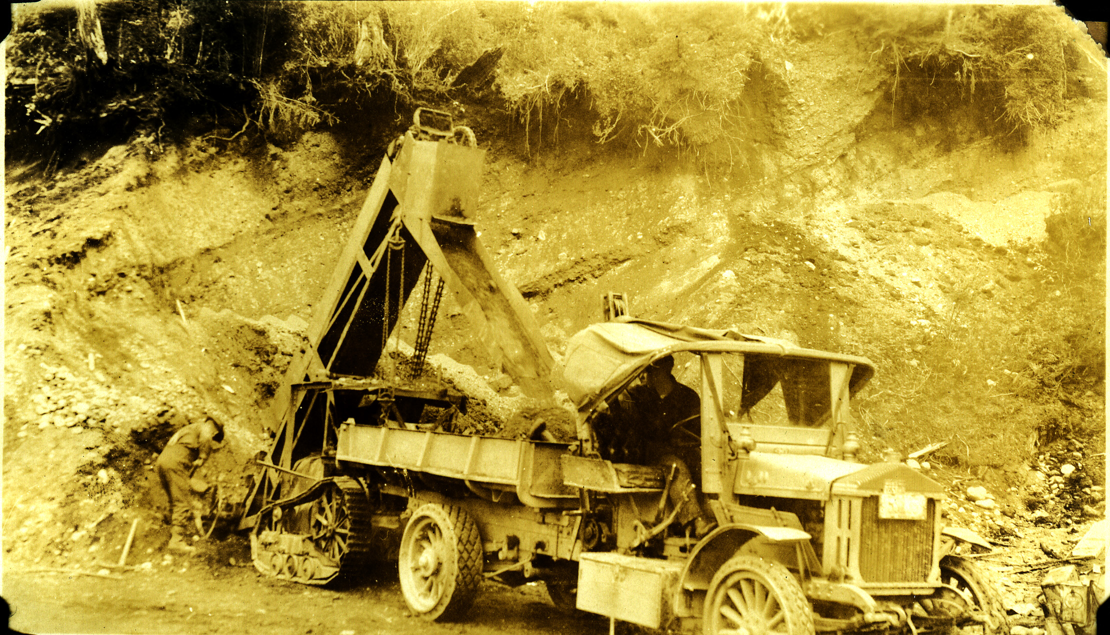
The original album is 180 pages and has 260 photos in it, so I have broken up the 11 miles of highway into 10 galleries, named by the locations they are known as today. Gallery 11 is a short series of pictures of the first gravel processing facility in Lemon creek. The “Pit” was created to make materials for the “Douglas Surfacing” project in 1934. In time I hope to add more photo collections here of other interesting Juneau history.
Special thanks to Jim Geraghty for without his many hours spent scanning all of these pictures, this website might never have been created.
George Danner III


